GEODEFINITION
Near surface geophysics and specialist surveying
We search ground for...
Mine Workings
Voids
Geological Faults
Subsidence
Water
Graves
Depth to Bedrock
Deep Archaeology
UXO
…and much more

We scan for...
Structural monitoring using a combination of very high resolution 3D scanning and precise total station referencing, all tailored to a specific site.
We train...
We provide specialised training and services to the police and government agencies.
We survey for...
Specialised applications such as support for marine civil engineering with a requirement for inshore precision piling.
Using the best equipment in the world
High quality work comes from a combination of appropriate equipment and capable personnel. GeoDefinition owns a selection of world-class geophysical equipment manufactured by leading manufacturers from around the world so we always have access to top quality and well-maintained kit. We are also competent surveyors and use our in-house RTK equipment to ensure that our work is accurately located. Our hardware is backed up by leading software for processing and mapping data using a computer that we built specifically for this purpose.
Our 3D scanning is achieved using structured light technology which provides better resolution than conventional laser scanning for applications where fine detail over smaller areas is the objective.
You’ll never know we were there
One of the benefits of geophysics is the almost totally non-intrusive nature of the techniques used. No digging, no drilling, no noise, no mess. When deployed in advance of an intrusive investigation, the geophysical results can guide the subsequent drilling and digging to minimise the amount and cost of the intrusive work while also increasing confidence that nothing has been missed. This all adds up to sustainability gains as well as better efficiency.

How do we do it?
Electromagnetics
Electro-magnetics, or EM for short, is a general term that covers a wide range of techniques and equipment. GeoDefinition has 3 EM instruments that cover a range of applications between them. These instruments range from a CMD-Explorer by GF Instruments that can provide detailed information about ground structure to a depth of more than 6 metres below ground level to a GSSI EMP-400 that we use for high resolution work in the top 2 metres of ground. Between these instruments we also have a CMD-2. The CMD-Explorer contains 3 receiver coils allowing us to analyse ground to a far greater level of detail than is possible from a single receiver instrument. For covering large areas of ground, we have developed a sled that allows our EM instruments to be towed behind our quad bike.
Ground Penetrating Radar
GeoDefinition operates the UK’s first Noggin 250 GPR unit. This specialised equipment not only has a lower frequency than most GPR’s in the UK for better depth, it is also configured to be towed behind a pick-up or quad bike allowing efficient data collection over large areas. Ideal for brownfield sites and roads.
GeoDefinition does not undertake utilities surveys. We trust Seeka, part of Kemp Engineering for utilities work and we use Seeka for any GPR work where we require the higher resolution that comes with higher frequencies or when there is a smaller working area. For utilities surveys you can reach Seeka directly using the link below:
Geo-Referencing and Optical Surveying
Most of our geo-referencing is achieved using a Trimble R2 GNSS system with VRS, providing a typical accuracy of better than 10 mm. We also use the new Galileo High Accuracy Service where appropriate. Where GNSS cannot be used directly, we also have a Trimble M3 3-second total station. This total station can also be used for a variety of accurate surveying tasks such as coastal piling and structural monitoring.
ERT
Electrical Resistivity Tomography is a bit of a mouthful so it is usually abbreviated to ERT. We have a FlashRes 64 system from ZZ Geo of Australia. This uses small pulses of direct electrical current to generate a vertical profile of the ground beneath our survey line. Depths of investigation can vary with most surveys extending to between 6 and 12.5 metres below ground level although other depths can be achieved if required.
Induced polarisation
Our FlashRes 64 equipment also measures an electrical property of ground called Induced Polarisation which we have developed as a tool to help us to identify specific features such as clay-rich layers and graves.
Magnetics
Our Gem GSM-19 Overhauser magnetometer can map total magnetic field and/or vertical magnetic gradient. An excellent instrument for locating discrete ferrous targets and a valuable tool for UXO surveys.
Meet The Team

Neill
Director/Senior Surveyor
Neill has a background in engineering and a long association with Camborne School of Mines. Over the years he has worked with a variety of geophysical and surveying techniques and is always happy to share his experience with clients and students alike.
Michelle
Director/Secretary & Survey Assistant
Michelle has spent her working life in Banking, Sales and Administration. Having been part of the business since the beginning she is now taking a more active role looking after all of the Office Admin and is an extra pair of hands on site when needed.
Harvey
Apprentice Survey Technician
Harvey started his apprenticeship as a Survey Technician with GeoDefinition in the summer of 2024. He has much to learn and enjoys his time out on site.
Latest News

GeoDefinition Bolsters Geotechnical Capabilities with the UK’s First Noggin 250 GPR System
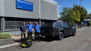
Continuing Development
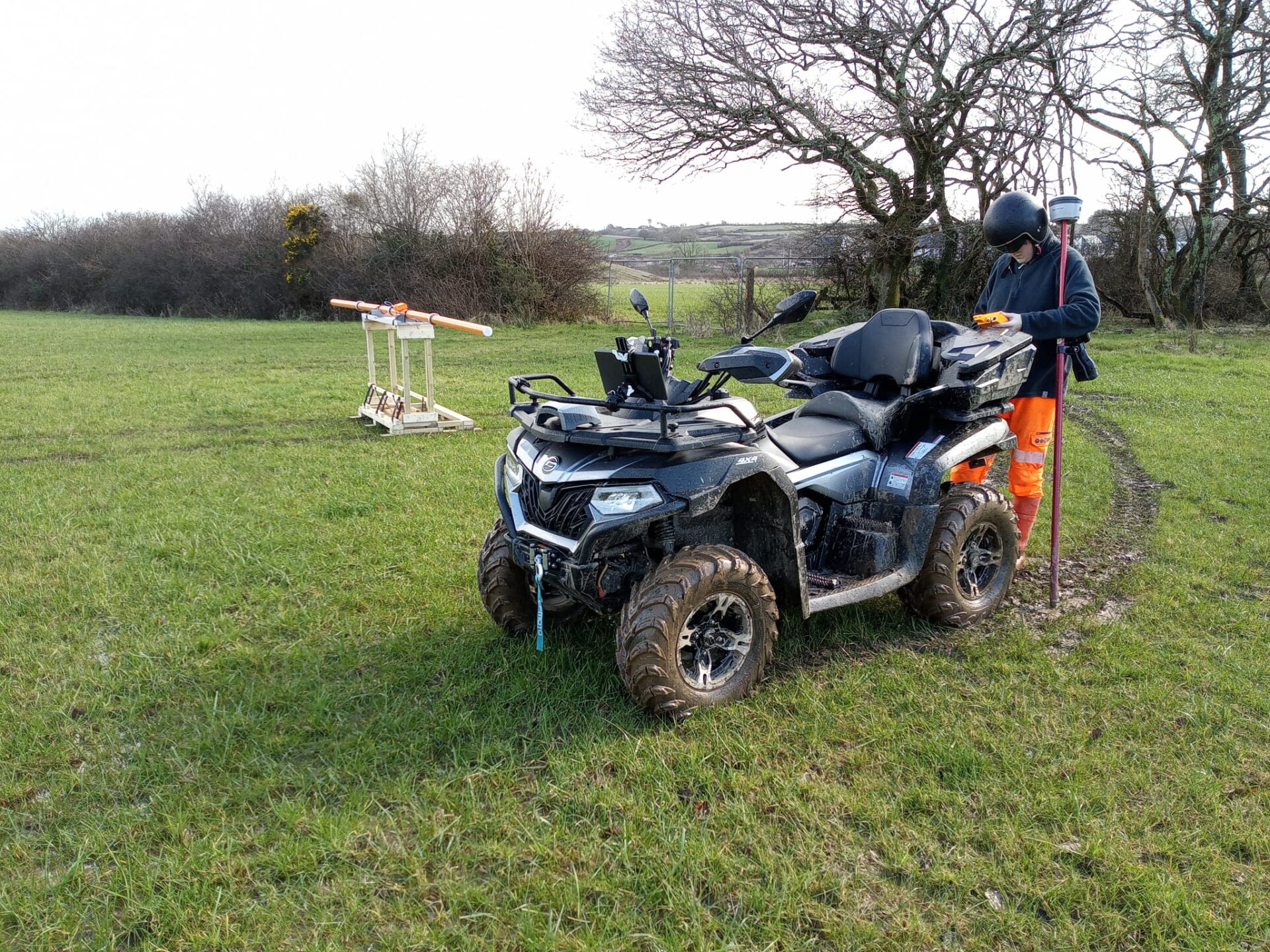
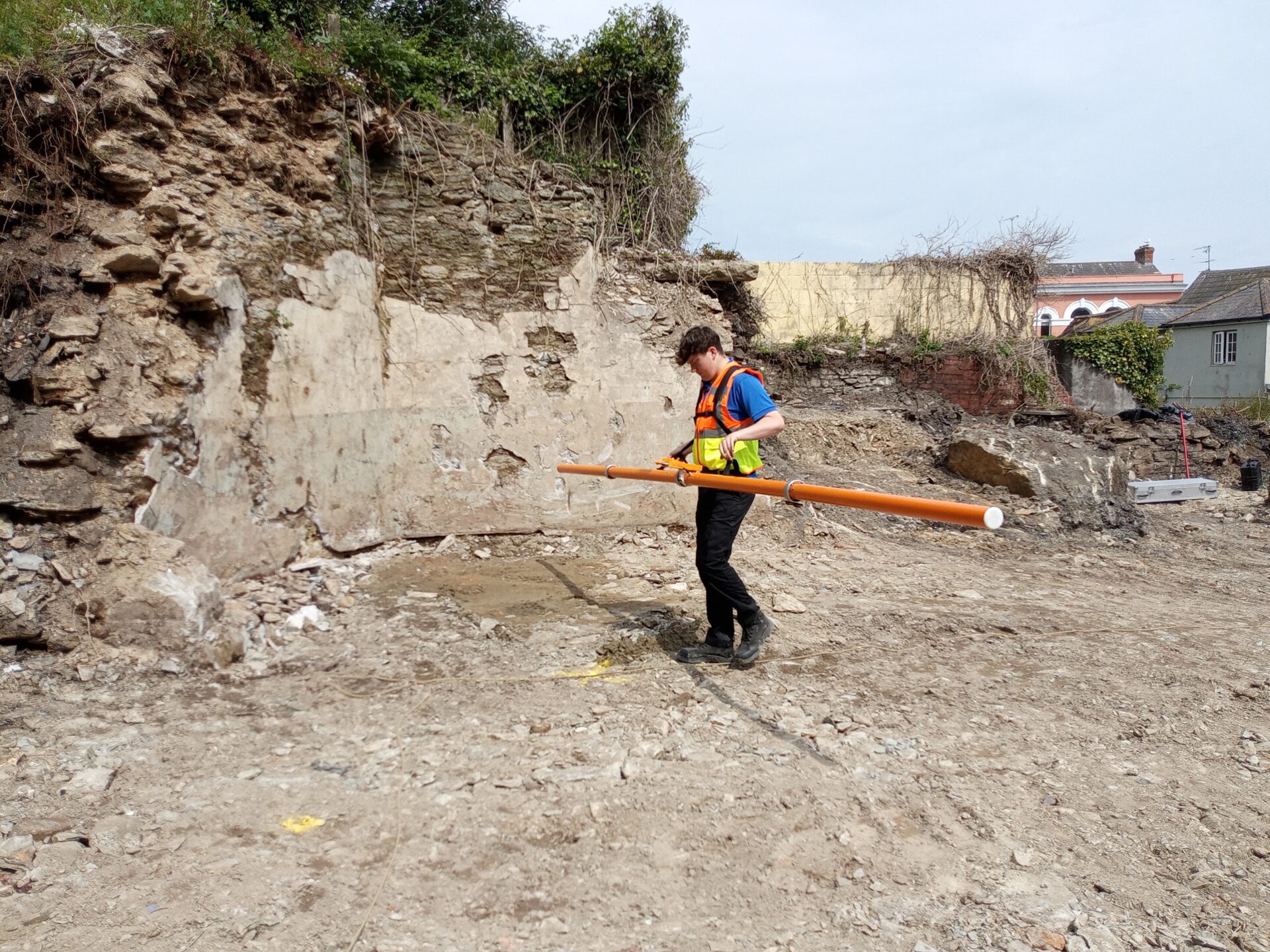
Get in touch
We are always happy to share our experience and knowledge and it costs nothing to find out how our technology might be able to help your project by reducing cost and/or risk. If we are not the right people for the job then we will tell you and might even be able to steer you in the right direction. We have even been known to advise that a proposed investigation was unnecessary.
Use our contact form below to get in touch, email us on Neill@geodefinition.co.uk, or find us on Linkedin